The downpour caused due to the impact of a low-pressure zone originating from Bay of Bengal, stopped in most parts of Jharkhand on Saturday, but not before disrupting life for around 36 hours from Friday in several regions, including the state capital Ranchi.
The system moved to towards southern Bihar and parts of Uttar Pradesh. Weathermen said the monsoon was active over Jharkhand as the trough was passing through southern Bihar and Digha in neighbouring Bengal.
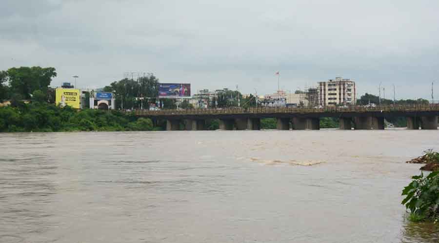
The swollen river Subernarekha at Mango in Jamshedpur on Saturday. Bhola Prasad
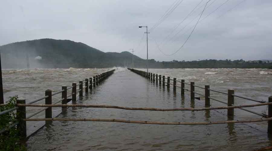
The heavy showers of the past two days in Jharkhand and neighbouring states prompted Odisha to open three radial gates of the Bankabal dam. also, the Jharkhand water resources department opened four gates of the Chandil dam, resulting in an abrupt rise in the water levels of the Subernarekha and Kharkai.
The water level of both rivers crossed the danger mark on Saturday posing a threat of floods in low-lying areas of Jamshedpur and its adjoining areas. The East Singhbhum district administration issued an alert and appealed to slum dwellers residing in low-lying areas to shift to higher ground.
Ranchi Met centre has forecast moderate rainfall in north-western parts of the state during the next 24 hours.
As per Met data, Latehar district recorded the highest rainfall of 204mm during the past 24 hours (8.30am of Friday to 8.30am of Saturday). Koner in Hazaribagh district recorded the second highest rainfall of 186.8 mm. Ranchi recorded 182.4 mm rain while Balumath in Latehar witnessed 176 mm of rain.
Hazaribagh recorded 171 mm of rain while Hindigir in Ranchi district got 140.8 mm rain. Met data suggest that several districts in central and northern Jharkhand recorded over 100mm rain in last 24 hours.
Jamshedpur and several other places in Kolhan region recorded over 50 mm of rain during the past 24 hours.
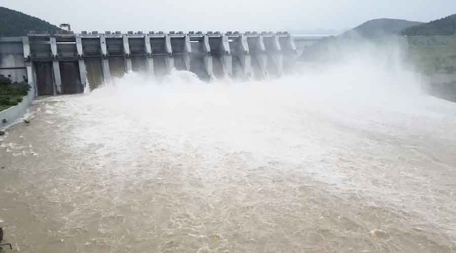
The Chandil dam on Saturday. Bhola Prasad
Most districts across Jharkhand woke up to overcast and inclement weather conditions on Saturday. Head of IMD's Ranchi Meteorological Centre Abhishek Anand said, "The rain has stopped in southern and central Jharkhand as the low-pressure system shifted to Bihar. The impact of the low-pressure is gradually waning."
Weathermen said there will be no significant changes in day's temperature during the next 48 hours.
Jharkhand is back to being a rain surplus status after the widespread showers of the last two days. Data suggests that so far, after the onset of the monsoon, Jharkhand has received 588.9mm rain against an average of 522.2 mm, a surplus of 13 per cent. The deficit had rrisen to over 20 per cent earlier this month, due to scanty showers.

