The weather was likely to improve in most parts of Jharkhand from Monday, but the Met office did not rule out the possibility of heavy showers at a few isolated places, especially in northern and central parts of the state.
Sunday's satellite pictures indicated that a trough stretched between north-west Rajasthan and north-east Bay of Bengal was passing through northern Jharkhand and Gangetic West Bengal, extending 1.5km above the mean sea level.
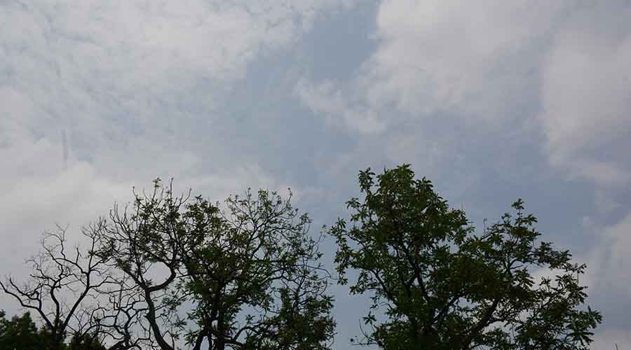
Most parts of Jharkhand woke up to a gloomy weather on Sunday. The sun was mostly cloaked behind cloud cover.
A low pressure area over south-east Uttar Pradesh, coupled with an associated cyclonic circulation extending up to tropospheric levels, had resulted in heavy rain at several places during the last 24 hours (8.30 am of Saturday to 8.30 am of Sunday).

Light clouds over Steel City of Jamshedpur on Sunday. Picture by Bhola Prasad
According to Met data, Satgaon in Koderma district recorded the highest rainfall of 86 mm. This was followed by Nandadih, also located in Koderma district, which experienced around 60 mm of heavy rain. Rajmahal in Sahebganj district too recorded a downpour of over 55 mm.
Several places in Hazaribagh, Koderma, Jamtara, Dhanbad, Bokaro and Dumka experienced moderate rain during the last 24 hours.
Jamshedpur, Ranchi , Ramgarh, Simdega and several other places in southern Jharkhand witnessed light rains during the past 24 hours.
IMD's Ranchi Met Centre in its sector-wise forecast did not issue any weather alerts from Tuesday to Friday.
According to the Met office data, Jharkhand has so far received 204.9mm rainfall in June, against a normal of 99.8mm, registering a 105 per cent surplus. All 24 districts have recorded excess rainfall than normal.
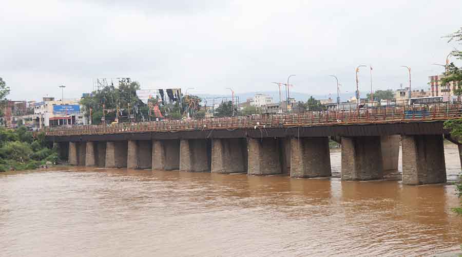
The water level in river Subernarekha witnessed a rise due to the opening of six sluice gates of Chandil dam on Saturday night. The sluice gates of the dam had to be opened because of incessant rain in the catchment areas during the past few days.


