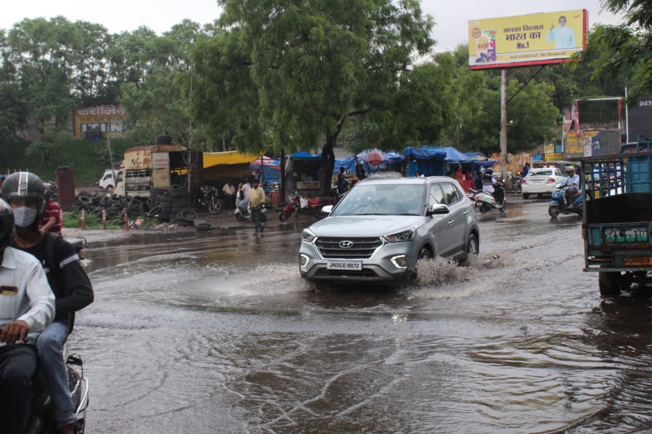
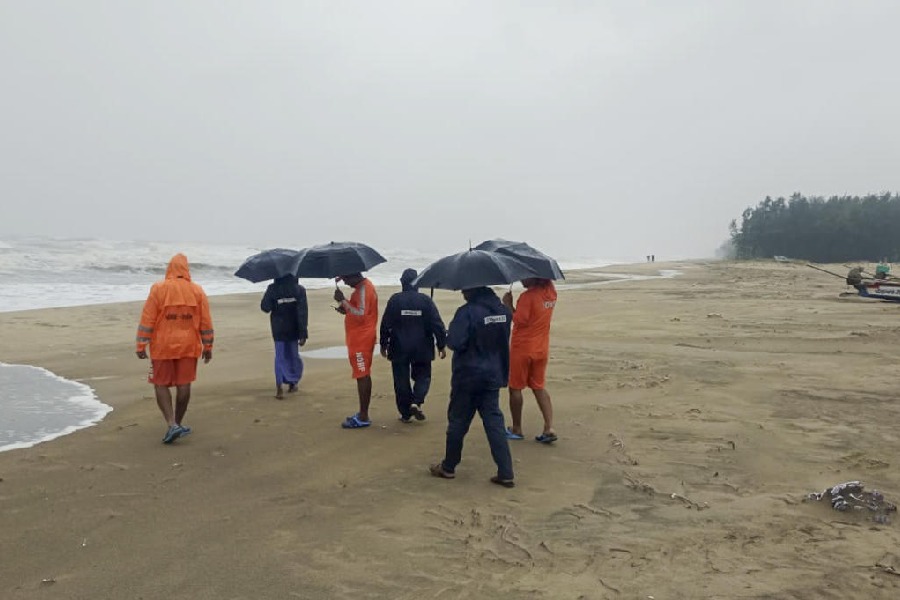
An active monsoon, coupled with a low-pressure currently hovering over southern Jharkhand, resulted in heavy rain at various places across the state during the last 24 hours.
Weathermen at IMD's Ranchi Meteorological Centre said an associated cyclonic circulation was also extending upto the mid-tropospheric level which was assisting in rainfall activity across various districts.
The monsoon trough was on Monday running from west Rajasthan to northeast Bay of Bengal across eastern Rajasthan, north Madhya Pradesh, north Chattisgarh and southern Jharkhand extending upto 0.9 Km above mean sea level.
Met statistics revealed that Kurdeg in Simdega district recorded the heaviest rainfall of around 70mm during the past 24 hours (8.30am of Sunday to 8.30am of Monday).
This was followed by Hariharganj in Palamau which too experienced heavy showers of around 55 mm. Sikatia in Godda district and Kolebira in Simdega district recorded over 50 mm of rain.
Daltonganj and Ramgarh recorded around 30 mm of rain while Latehar, Koderma , Jamtara, Giridih, Bokaro, Rajmahal and several other places in north eastern parts of Jharkhand recorded moderate rainfall between 20 and 25 mm.
According to Met statistics, over a dozen IMD observatories recorded rainfall between 10mm and 20 mm during the past 24 hours.
Met data further revealed that the state as a whole recorded a surplus rain of 57 per cent so far in the month of June. Against a normal of 57.8 mm, the state has so far actually received 90.7 mm of rain, which is a gain of about 57 per cent.
The southwest monsoon reached Jharkhand on June 12, three days ahead schedule.
Head of Ranchi Met Centre Abhishek Anand said the monsoon has covered the entire state and that most districts would continue to get a good spell of rain in the next 72 hours or so. "Heavy rainfall is also expected to take place at a few isolated places especially in north, central and southern Jharkhand during the next two to three days, " he said.


