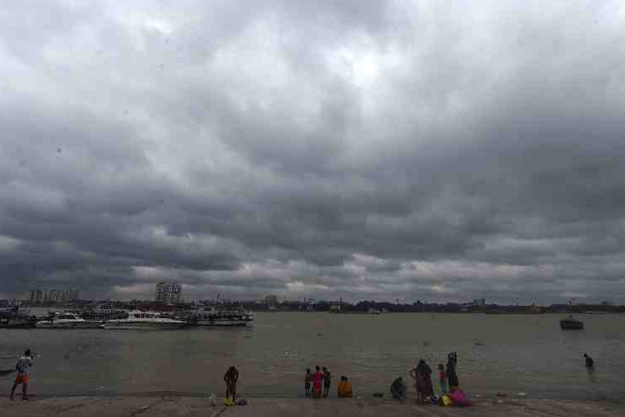
A cyclonic circulation formed in the southeast Bay of Bengal on Saturday, which is seen by weather scientists as the first step of the development of a possible severe cyclonic storm in the region next week.
"A cyclonic circulation lies over southeast Bay of Bengal and neighbourhood in lower and middle tropospheric levels. Under its influence, a Low-Pressure Area is likely to form over the same region by May 8," Mrutyunjay Mohapatra, Director General, India Meteorological Department (IMD) said.
He said the details about the path and intensification will be provided after the formation of a low-pressure area.
Mohapatra said the weather system was likely to concentrate into a depression over southeast Bay of Bengal around May 9 and intensify into a cyclonic storm and move nearly northward towards central Bay of Bengal.
The cyclone will be named Mocha (Mokha), a name suggested by Yemen after the Red Sea port city, which is known to have introduced coffee to the world over 500 years ago.
The weather office has warned fishermen of squally weather in southeast Bay of Bengal with windspeed reaching 40-50 kmph from Sunday onwards.
"Those who are over southeast Bay of Bengal are advised to return to safer places before May 7 and those over central Bay of Bengal are advised to return before May 9," the weather office said.
It has also suggested that regulation of tourism and offshore activities and shipping near Andaman and Nicobar Islands between May 8 and 12.
Except for the headline, this story has not been edited by The Telegraph Online staff and has been published from a syndicated feed.


