High mountain passes with barely any snow, skiers hoping to slalom down white slopes disappointed and tourists calling off trips to hill destinations... the El Nino effect is playing out across the northwest Himalayas with an unusually dry winter and no immediate relief in the offing.
According to the World Meteorological Organisation (WMO), 2023 was the warmest-on-record year and the warming El Nino event is likely to further fuel the heat in 2024.
The El Nino phenomenon occurs when sea surface temperatures (SSTs) are higher than average in the eastern tropical Pacific, and there is a simultaneous weakening of trade winds. The absence of snowfall is not a one-time thing but affects the annual cycle of snow.
“If it continues longer, it can have a huge cascading effect on socio-economic benefits. If you don’t get (enough) snow, you don’t get replenishment of water, it will impact agriculture, your health and can, in turn, impact your economy,” glaciologist and Himalayan researcher A N Dimri told PTI.
And so it is that the Border Roads Organisation (BRO) which struggles with snow clearance operations in tough weather conditions to keep the strategically located 11,800 feet altitude Zojila Pass open has had it easier this year.
“Zojila Pass connects Kashmir with Ladakh and is important for maintaining the supply chain logistics for the troops posted in forward areas in Ladakh. Generally, it has a minimum of 30-40 feet of snow around this time but there is barely six-seven feet of snow now,” said Lt Gen Rajeev Chaudhry, former BRO director general.
“It is possible the pass will remain open for traffic for a week more because of less snow,” he said.
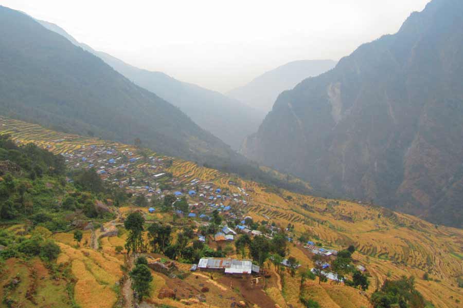
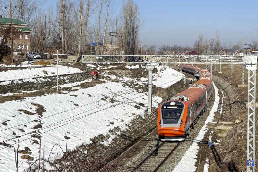
The picture is no different in Kashmir, Himachal Pradesh and Uttarakhand. In Kashmir, popular tourist destinations such as Gulmarg and Pahalgam have received almost no snow while the hills have below-average snowfall disappointing tourists and locals in equal measure.
“Bizarre dry winters so far over hills due to prolonged dry spell & nothing major expected from upcoming Western Disturbance on 9-10th Jan,” amateur meteorologist ‘Weatherman Shubham’ posted on X on Saturday along with a photo of Kedarnath temple and surroundings sans any snow.
The unusually long dry spell has meant that places that would ideally have a minimum of four-to-six feet thick snow by now hardly have any snow. After the initial winter precipitation in November, and at some places in the first few days of December, there has been no precipitation at all.
Attributing it to the absence of Western Disturbances (WDs), the India Meteorological Department (IMD) said almost no major snowfall is likely till mid-January with even the expected January 9-10 WD not likely to help much.
WDs are a series of cyclonic storms that originate in India’s west (and therefore, western) at faraway Mediterranean region.
Though the northwest plains, Punjab, Haryana and Delhi-NCR, have seen their share of foggy ‘cold’ and ‘severe cold’ days, there have been no ‘cold wave’ conditions yet.
“Since December, there has been no active WD over northwest India... this resulted in less than normal precipitation,” explained IMD Director General Mrutyunjay Mohapatra.
Temperatures, he added, are above normal during the El Nino period. “But more than that, the absence of WDs meant that there was no clouding and that led to increased temperatures (in the higher reaches of the Himalayas).” According to an April 2015 study "Western Disturbances: A review" published in the Review of Geophysics, WD snowfall in December, January, and February is the dominant precipitation input to establish and sustain regional snowpack, replenishing regional water resources.
Spring melt is the major source of runoff to northern Indian rivers and can be linked to important hydrologic processes from aquifer recharge to flash floods, it said.
Drawing a connect between WDs and El Nino, climate scientist Raghu Murtugudde from the Indian Institute of Technology-Bombay said, “WDs have had a trend for a while, so the low precipitation is consistent with that (trend). During an El Nino, the cold winds come from the northwest and the cold temperature remains over northern and north-central India. This means, dry cold winds and thus less precipitation.” Elaborating on the “trend”, he said, “The WDs have been decreasing and bringing less precipitation for a couple of decades. That means, there will be more years with below-normal precipitation than years with above-normal precipitation. El Nino exacerbated this.” Glaciologist Dimri also spoke about a distinct pattern shift in WDs over the last few years. “One, there has been a decrease in WDs, then, there has been decreased precipitation, and third, most importantly, precipitation has changed from solid to liquid, which means, there is rain in winters instead of snowfall.” The replenishment of water sources for the southern Himalayan region will bear the brunt. “The water system will collapse. We are drifting towards living in a dryer system,” he warned.
On average, India receives four to six intense WDs each month between December and March. Except for a one-off event, December had no WD and there is no sign of it till mid-January.
“The unknown thing is that the El Nino pattern is different this year because of a strong superimposition of El Nino and global warming. This happened back in 2009, which too was a dry year,” Murtugudde said.
Murtugudde was a co-author in a January 2012 study, “Is a global warming signature emerging in the tropical Pacific?” published in the journal Geophysical Research Letters. It demonstrated that the unprecedented basin-wide warming in the Tropical Pacific (TP) during the year 2009 was associated with increasing global warming trend in the TP SSTs.
Except for the headline, this story has not been edited by The Telegraph Online staff and has been published from a syndicated feed.


