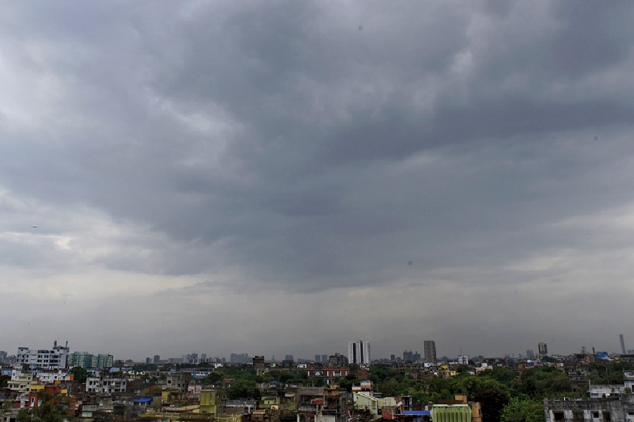
More than a third of India's land area has received below normal rainfall since the start of the monsoon season this year with 271 districts across the country reporting deficits in cumulative rain despite excess rainfall in 134 other districts.
Weather scientists up to Friday had documented deficits across 42 per cent of the land area, including swathes of eastern India and the southern peninsula, attributing them to poor June rainfall and the absence of multiple low pressure systems in the Bay of Bengal.
“We expect on average 13 low pressure systems over the Bay of Bengal during the four-month season from June to September, but this year we've had only one since June," said Mrutyunjaya Mohapatra, director-general of the India Meteorological Department (IMD).
Bengal, Bihar, Jharkhand and Odisha are among states impacted by the lack of low pressure systems. The IMD’s rainfall data from June 1 through July 14 show that Bengal accounts for 13 of the 270 districts across the country with deficits or large deficits in rainfall.
The IMD labels rainfall between 20 per cent and 59 per cent below the average as a deficit and values 60 per cent or below as a large deficit. Among districts with the highest deviations below the normal are Purulia (-71 per cent) and Bankura (-61 per cent) in Bengal, Sitamarhi (-73 per cent) and East Champaran (-61 per cent) in Bihar, and Kalahandi (-65 per cent) in Odisha.
Eleven states — Arunachal Pradesh, Bihar, Jharkhand, Karnataka, Kerala, Maharashtra, Manipur, Mizoram, Nagaland, Odisha and Telangana — have recorded cumulative rainfall deficits from 22 per cent to 44 per cent below their expected average between June 1 and July 14.
"Every year some pockets of the country get deficit rainfall — even in years of normal monsoon,” said S. Bal, an agrometeorologist with the Indian Council of Agricultural Research. "We’ll get a better picture of the monsoon’s performance by July-end or early August. “Above average rainfall during the rest of July and August might compensate for the deficits in many places.”
Weather observations suggest that a new low pressure system is likely to emerge over the Bay of Bengal over the coming week and add to rains over central India and the southern peninsular region. "We expect good rainfall from July 20 onward," said D. Sivananda Pai, a senior IMD scientist.
The monsoon rains that account for about 70 per cent of India’s annual rainfall are critical for crops, economy and water resources. Paddy, maize, oilseeds, pulses, sugarcane and cotton are among crops sown under the monsoon.
The total live water storage in 146 large reservoirs across the country on July 6 this year was 29 per cent of the total live storage capacity — and 96 per cent of last year’s storage and 110 per cent of the average storage levels of the past 10 years.
The IMD had earlier this year predicted an overall normal monsoon rainfall, 96 per cent of the average. However, a rise in the sea surface temperatures in the Pacific Ocean — a phenomenon known as El Nino linked to adverse monsoon performance — was expected to emerge this monsoon season.
"We may see some impact of El Nino during August and September,” said Pai. But another weather condition called Indian ocean dipole linked to Indian ocean sea surface temperatures is expected to positively influence the monsoon this summer.
“A tug-of-war between El Nino and the Indian ocean dipole might influence the monsoon,” Pai said.
Pai said the cyclone in the Arabian sea last month and the arrival of west Asian storms called Western disturbances had contributed to the excess rainfall in India’s northwestern states.
Nineteen districts in Uttar Pradesh, 15 in Haryana, 10 in Himachal Pradesh, 12 in Punjab, 20 in Rajasthan, and 16 in Gujarat have recorded large excess (60 per cent or higher than the normal) rainfall this season. The excess rainfall in the north and the release of water from barrages upstream of the Yamuna are among factors that have contributed to the floods in Delhi.


