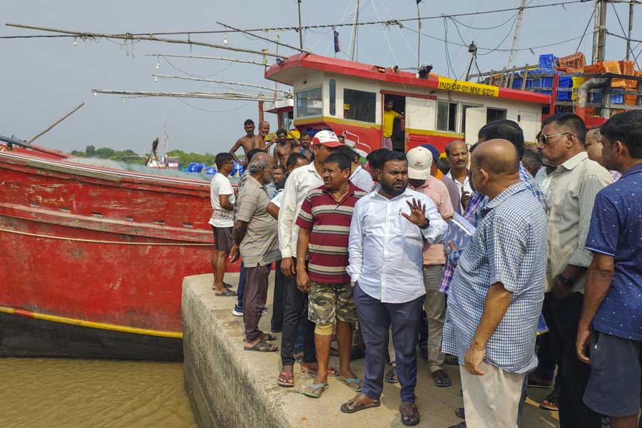
As the deep depression over the Bay of Bengal intensified into cyclonic storm 'Dana' on Wednesday morning, the Odisha government expedited the evacuation of people from coastal areas and deployed 288 rescue teams in vulnerable areas across 14 districts, officials said.
The state government has already mobilised 19 National Disaster Response Force (NDRF) teams, 51 Odisha Disaster Rapid Action Force (ODRAF) teams, and 178 Fire Services teams, with an additional 40 teams also deployed in the affected districts.
On Wednesday morning, the Indian Air Force transported 150 NDRF personnel and relief materials to Bhubaneswar using two aircraft.
The districts on alert are Angul, Puri, Nayagarh, Khordha, Cuttack, Jagatsinghpur, Kendrapara, Jajpur, Bhadrak, Balasore, Keonjhar, Dhenkanal, Ganjam, and Mayurbhanj.
"The state has identified over 3,000 vulnerable locations (villages) across 14 districts, primarily along the coastal belt, and started evacuation procedures. Approximately 10,60,336 people are likely to be evacuated before Cyclone Dana makes landfall early Friday," a senior official from the Special Relief Commissioner’s office said, adding that arrangements have been made to protect lives and property.
According to the IMD's latest bulletin, the deep depression over the east-central Bay of Bengal moved west-northwest at a speed of 18 km/h and intensified into cyclonic storm ‘Dana’, which was centered about 560 km southeast of Paradip (Odisha) and 630 km south-southeast of Sagar Island (West Bengal) at 5:30 AM.
"It is likely to move northwest and intensify into a severe cyclonic storm over the northwest Bay of Bengal by early morning on October 24, crossing the coasts of north Odisha and West Bengal between Puri and Sagar Island during the night of October 24 to the morning of October 25. Wind speeds are expected to reach 100-110 km/h, gusting to 120 km/h," the Indian Meterological Department warned.
The IMD cautioned that Cyclone 'Dana' would bring significant rainfall to Odisha, predicting light to moderate rain at most locations, with heavy rainfall (7-11 cm) in isolated areas over Balasore, Bhadrak, Kendrapara, Jagatsinghpur, Puri, and Khordha starting the evening of October 23.
On October 24 and 25, heavy to very heavy rainfall is expected in several places, with isolated areas receiving extremely heavy rainfall (over 21 cm) in districts including Balasore, Mayurbhanj, and Jajpur, it added.
Squally winds are likely to begin on the evening of October 23. Wind speeds will gradually increase to 80 km/h by the morning of October 24, and could reach 120 km/h from the night of October 24 until the morning of October 25, before decreasing gradually thereafter.
The IMD has prohibited all marine activities, including fishing, in the Bay of Bengal until the cyclone has passed.
"All fishermen returned to the coast by Tuesday evening," said Odisha’s revenue and disaster management minister, Suresh Pujari.
Pujari appealed the people to cooperate with the administration and shift to shelter camps by Wednesday evening.
"We have made all arrangements like food, drinking water, baby food and women police in camps," he said adding that an estimated 10 lakh people are expected to be shifted before the cyclone crosses the coast.
Except for the headline, this story has not been edited by The Telegraph Online staff and has been published from a syndicated feed.


