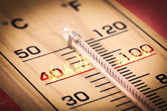
Northwest, central and west India are predicted to record maximum temperatures three to five degrees above normal over the next five days, the India Meteorological Department (IMD) said on Tuesday.
Many parts of the country are already recording temperatures that are usually recorded in the first week of March.
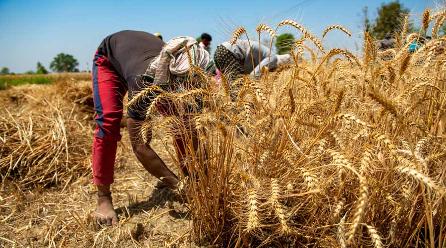
The Met office had said Monday that significantly higher-than-normal temperatures may have an adverse impact on wheat and other crops.
A senior meteorologist at the IMD said temperatures in northwest India are likely to drop by two degrees Celsius over the next two days after a western disturbance affecting the western Himalayan region recedes.
However, maximum temperatures are likely to remain three to five degrees above normal in the region as well as central and west India over the next five days, he said.
On Monday, most places in northwest, central and west India logged their maximum temperatures in the range of 35 degrees Celsius to 39 degrees Celsius.
Delhi on Monday recorded the third hottest February day since 1969 with the maximum temperature at the Safdarjung observatory, the national capital's primary weather station, soaring to 33.6 degrees Celsius.
The city had recorded an all-time high of 34.1 degrees Celsius on February 26, 2006, and a maximum temperature of 33.9 degrees on February 17, 1993.
Kuldeep Srivastava, head of the India Meteorological Department's (IMD) regional forecasting centre, said the lack of strong western disturbances was the primary reason for the early heat in Delhi and other parts of northwest India.
"The weather in northwest India is primarily regulated by western disturbances. Since there has been no active western disturbance in the region since January 29, the temperatures have gone up appreciably," he said.
A few feeble western disturbances have led to below-normal precipitation in the hills, Srivastava added.
Maximum temperatures are already showing a rising trend and the mercury may soar to 40 degrees Celsius and above in one or two meteorological subdivisions of northwest India in the first half of March, the scientist said.
The Met office on Sunday said isolated heatwave "conditions are likely over Kutch and Konkan during the next two days".
Officials had said it was the earliest a heatwave alert was issued for these regions.
However, the IMD on Monday withdrew the heatwave warning for these regions due to sea breeze leading to a drop in temperatures, the officials said.
"This higher day temperature might lead to an adverse effect on wheat as the crop is approaching reproductive growth period, which is sensitive to temperature," the IMD said.
High temperatures during the flowering and maturing periods leads to loss in yield. There could be a similar impact on other standing crops and horticulture, it said.
The IMD said farmers can go for light irrigation if the crop appears to be under stress.
"To reduce the impact of higher temperatures, add mulch material in the space between two rows of vegetable crops to conserve soil moisture and maintain soil temperature," it said.
A heat wave is declared if the maximum temperature of a station reaches at least 40 degrees Celsius in the plains, at least 37 degrees in coastal areas and at least 30 degrees in hilly regions, and the departure from normal is at least 4.5 degrees.
In March last year, the warmest recorded in the country since 1901, heat caused a decline of 2.5 per cent in wheat yields.
The weather department had attributed the unusual heat to the lack of rainfall due to the absence of active western disturbances over north India and any major system over south India.
The country as a whole had logged just 8.9 mm rainfall, which was 71 per cent lower than its long period average of 30.4 mm.
Except for the headline, this story has not been edited by The Telegraph Online staff and has been published from a syndicated feed.


