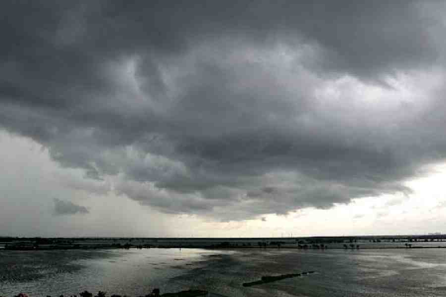
The Southwest Monsoon withdrew completely from India on Thursday, four days after the normal date of October 15, the India Meteorological Department (IMD) said.
It had started withdrawing from the country on September 25, eight days after the normal date.
Typically, the Southwest Monsoon makes its onset over Kerala by June 1 and covers the entire country by July 8. It starts retreating from northwest India around September 17, withdrawing entirely by October 15.
"The Southwest Monsoon has withdrawn today, October 19, from the remaining parts of the country," the IMD said in a statement.
With the setting in of easterly/northeasterly winds over southern peninsular India, the Northeast Monsoon rainfall activity is likely to commence over the region in the next three days, it said.
However, the initial phase of the Northeast Monsoon in general is likely to be weak, it added.
India recorded "below-average" cumulative rainfall -- 820 mm compared to the long-period average (LPA) of 868.6 mm -- in the four-month (June-September) monsoon season amid strengthening El Nino conditions.
The IMD said positive factors, primarily the Indian Ocean Dipole (IOD) and the Madden-Julian Oscillation (MJO), mitigated some of the deficiency caused by El Nino conditions and gave "near normal" precipitation.
Before 2023, India recorded "normal" and "above-normal" rainfall in the monsoon season for four years on the trot.
Rainfall between 96 per cent and 104 per cent of the LPA is considered normal.
El Nino conditions -- warming of waters in the Pacific Ocean near South America -- are associated with weaker monsoon winds and drier conditions in India.
The IOD is defined by the difference in the sea surface temperatures between the western parts of the Indian Ocean near Africa and the eastern parts of the ocean near Indonesia.
The MJO is a large-scale atmospheric disturbance originating in tropical Africa and travelling eastward, typically lasting 30 to 60 days. It is known for increasing convection in the Bay of Bengal and the Arabian Sea.
Except for the headline, this story has not been edited by The Telegraph Online staff and has been published from a syndicated feed.


