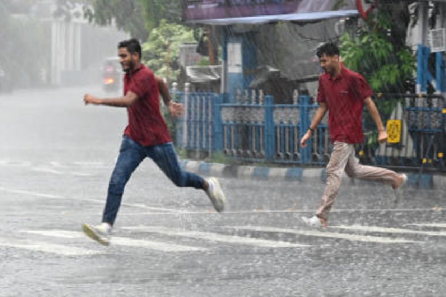
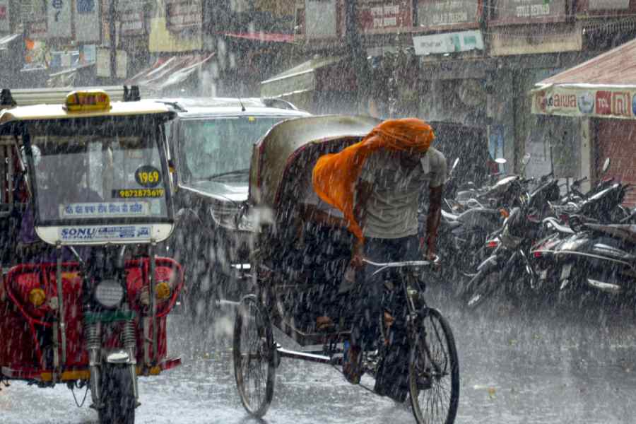
The southwest monsoon has covered the entire country six days ahead of the normal date despite making sluggish progress during mid-June, the India Meteorological Department (IMD) said on Tuesday.
"The southwest monsoon has further advanced into the remaining parts of Rajasthan, Haryana, and Punjab today. Thus, it covered the entire country on July 2, 2024, against the normal date of July 8," the IMD said in a statement.
The monsoon arrived in Kerala and the northeastern region on May 30, two and six days earlier than usual.
It progressed normally up to Maharashtra but lost momentum in between, extending the wait for rains in West Bengal, Bihar, Uttar Pradesh, Chhattisgarh, and Madhya Pradesh, and worsening the impact of a scorching heat wave in northwest India.
The country recorded 16 days of below-normal rainfall activity from June 11 to June 27, leading to overall below-normal precipitation in June, with 147.2 mm of rainfall against a normal of 165.3 mm for the month, the seventh lowest since 2001.
June rainfall accounts for 15 per cent of the total precipitation of 87 cm recorded during the four-month monsoon season in the country.
Typically, the southwest monsoon makes its onset over Kerala by June 1 and covers the entire country by July 8. It starts retreating from northwest India around September 17, withdrawing entirely by October 15. IMD data shows this is the third consecutive year that the monsoon has covered the entire country ahead of schedule. Monsoon rains covered all of the country on July 2 in both 2022 and 2021. Since 2011, the monsoon has covered the country earlier than the usual date seven times.
Last year, the monsoon rolled into Kerala on June 8, which was seven days behind the normal date, and covered the entire country by July 2, six days early. Monsoon withdrawal began in west Rajasthan on September 25, with an eight-day delay.
The IMD on Tuesday said the monsoon will remain active over northwest, east, and northeast India during the next four to five days.
Isolated very heavy rainfall is expected over Bihar, Arunachal Pradesh, Assam and Meghalaya, sub-Himalayan West Bengal, Sikkim, Nagaland, Manipur, Mizoram, and Tripura during July 2–6. Isolated extremely heavy rainfall is very likely over Arunachal Pradesh, Assam, and Meghalaya on July 5-6.
Goa, Madhya Maharashtra, parts of Gujarat, and coastal Karnataka could experience a few spells of very heavy rain during this period, the Met office said.
The weather department on Monday said India could experience above-normal rainfall in July, with heavy rains potentially leading to floods in the western Himalayan states and river basins in the central parts of the country.
The northeastern states are already grappling with severe floods. Assam's flood situation remains critical with over 6.71 lakh people affected in 20 districts in the second wave of flooding this year. Heavy rainfall in Manipur and Mizoram has caused rivers to reach warning levels and triggered landslides.
The year 2023 saw devastating floods in Himachal Pradesh and Uttarakhand in July and August, and in the Teesta river in the eastern Himalayas in October, despite below-average rainfall.
The IMD had earlier forecast above-normal rainfall during the 2024 monsoon season in India, with cumulative precipitation estimated at 106 per cent of the long-period average of 87 cm.
However, normal cumulative rainfall over the country during the monsoon season doesn't mean even spatial and temporal spread of precipitation.
The Indian monsoon is characterized by inherent fluctuations and changes that occur over time due to various natural factors. This is called natural variability. However, research shows climate change is making the monsoon more variable. Increased variability means more extreme weather and dry spells.
According to the IMD, below-normal rainfall is expected in northeast India during the entire season, normal in the northwest, and above-normal in central and south peninsular regions of the country.
India's core monsoon zone, covering most of the rain-fed agricultural areas in the country, is predicted to receive above-normal rainfall this season, the Met office said.
The monsoon is critical for India's agricultural landscape, with 52 per cent of the net cultivated area relying on it. The primary rain-bearing system is also crucial for replenishing reservoirs critical for drinking water and power generation across the country.
June and July are considered the most important monsoon months for agriculture, as most of the sowing for the Kharif crops takes place during this period.
IMD officials have said La Nina conditions may set in by August.
El Nino, the periodic warming of surface waters in the central Pacific Ocean, is associated with weaker monsoon winds and drier conditions in India. La Nina, the antithesis of El Nino, leads to plentiful rainfall during the monsoon season.
Except for the headline, this story has not been edited by The Telegraph Online staff and has been published from a syndicated feed.


