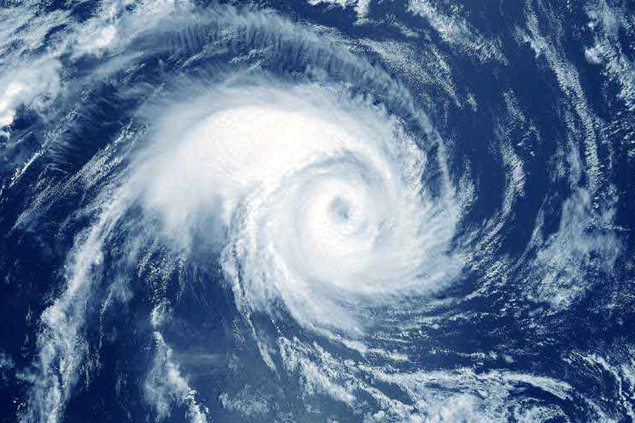
A low-pressure area over the southeast and the adjoining southwest Arabian Sea has developed into a depression and is expected to intensify into a cyclonic storm by October 21 morning, the India Meteorological Department (IMD) said on Friday.
This would be the second cyclonic storm in the Arabian Sea this year. It will be called 'Tej', according to a formula followed for naming cyclones in the Indian Ocean Region.
The cyclonic storm is predicted to further intensify into a severe cyclonic storm on Sunday and move towards the south coasts of Oman and adjoining Yemen, according to the IMD.
However, meteorologists caution that at times, storms may deviate from the predicted track and intensity, as seen in the case of cyclone Biparjoy, which formed in the Arabian Sea in June and initially moved in a north-northwest direction before changing course to make landfall between Mandvi in Gujarat and Karachi in Pakistan.
The IMD said the low-pressure system lay centered around 900 km east-southeast of Socotra (Yemen), 1,170 km southeast of Salalah Airport (Oman) and 1,260 km east-southeast of Al Ghaidah (Yemen) at 11:30 am on Friday.
Private forecasting agency Skymet Weather said that a majority of models indicate the storm is heading for the Yemen-Oman coast.
However, the Global Forecast System models suggest a recurvature while positioned over the deep central parts of the Arabian Sea, steering the system towards Pakistan and the Gujarat coast, it said.
A cyclonic storm is characterised by a maximum sustained wind speed of 62-88 kmph, while it is termed a severe cyclonic storm if the maximum sustained wind speed reaches 89-117 kmph.
The IMD also said a low-pressure area over the southwest and adjoining southeast Bay of Bengal (BOB) is likely to intensify into a depression over the west-central BOB around October 22.
The system is likely to move west-northwestwards until Sunday morning and then recurve north-northeast wards towards the Bangladesh coast, it said.
Except for the headline, this story has not been edited by The Telegraph Online staff and has been published from a syndicated feed.


