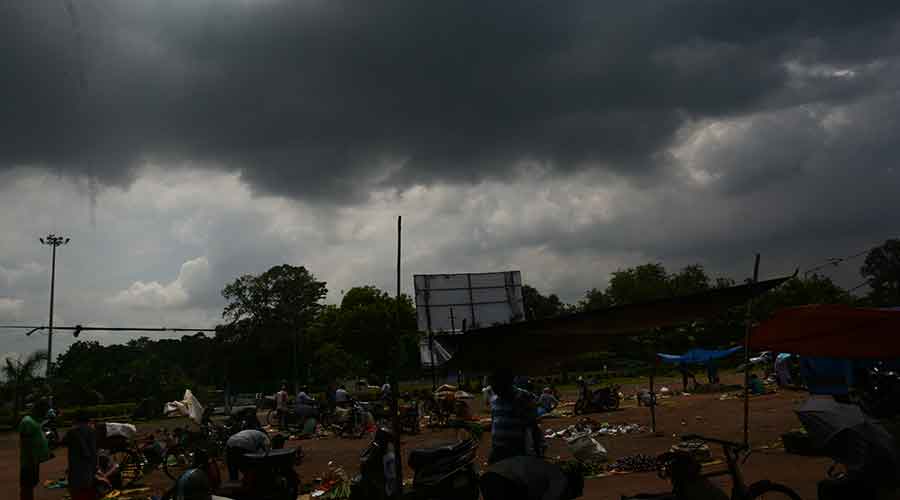
Rain lashed the national capital early on Saturday, flooding streets, neighbourhoods and the forecourt of Delhi airport and raising the total monsoon rainfall at the city’s Safdarjung weather station to 113.6cm, the highest in 46 years.
Weather scientists said the rain over Delhi was part of a pattern of excess rainfall across India’s northwest, driven primarily by a low-pressure zone over eastern Rajasthan that had pulled moisture-laden winds from the east.
Another low-pressure area over the Bay of Bengal is likely to move northwest and intensify into a depression, the India Meteorological Department said on Saturday, predicting “very heavy or extremely heavy” rainfall over Gangetic Bengal on Sunday. (See Metro)
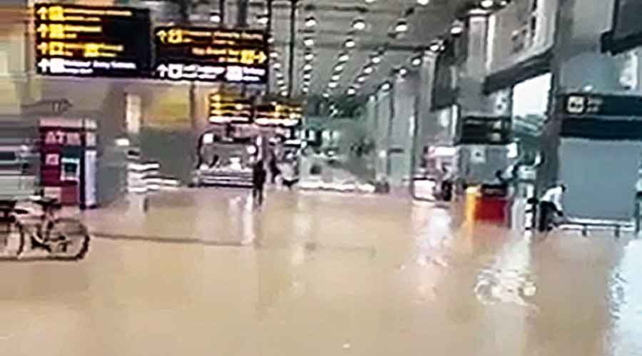
Delhi International Airport authorities said that record-breaking rain on Friday night and a high downpour on Saturday morning had caused some waterlogging across the forecourt of Terminal 3, which was “cleared within a few minutes”.
Aviation minister Jyotiraditya Scindia tweeted that he had spoken to airport officials and “was told that the waterlogged forecourt was cleared up within 30 minutes”, PTI reported.
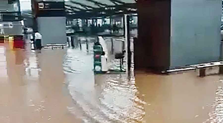
A flooded areas of the airport in Delhi. PTI photo
By then, a video clip of the waterlogged forecourt was circulating on social media, evoking sarcastic remarks.
“When airport turns into seaport,” said a tweet. “Any arrangement for boats?” asked another.
An airport spokesperson attributed the waterlogging to a steep slope of 17 metres between a nearby highway and Terminal 3 that drives rainwater towards the terminal, from where it is carried away by a drainage system.
The spokesperson said the airport had been requesting state and central government bodies and officials to widen the underground drainage channel for the past few years. “We hope the drainage system will be widened soon,” the spokesperson said.
On Sunday, the weather agency said, very heavy to extremely heavy rainfall was likely to cause localised flooding of roads, inundate low-lying areas, and close underpasses in cities and towns across these regions. Traffic is likely to be disrupted because of waterlogged streets.
“The excess rainfall across northwest India over the past 24 hours is the result of these two low pressure systems,” said IMD director-general Mrutyunjaya Mohapatra. “This excess will help make up the deficit rainfall in August.”
Saturday’s rain has raised the total monsoon rainfall over Delhi’s Safdarjung weather station to 113.6cm, the highest since the station recorded 115.5cm in 1975. The highest that Safdarjung has ever logged was 142cm in 1933.
Bikaner in Rajasthan’s desert region received 7.6mm instead of the normal 0.5mm, an excess of 1,424 per cent, while Barmer recorded an excess of 1,445 per cent, and Ludhiana in Punjab an excess of 252 per cent.
The IMD has predicted very heavy to extremely heavy rainfall over parts of Odisha and eastern Rajasthan on Sunday, over parts of Odisha, Gujarat and central India on Monday, and over Madhya Pradesh and Maharashtra on Tuesday.

