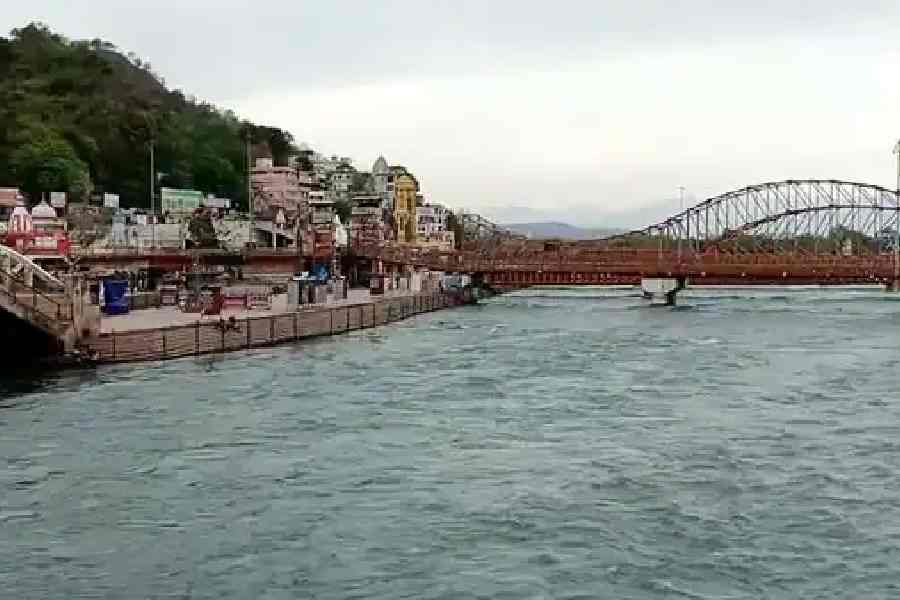
An earthquake around 2,500 years ago could have caused the Ganga river to abruptly change course, according to a new study published.
Researchers said the "undocumented" quake, possibly of magnitude 7-8, rerouted the main channel of the river in present day Bangladesh, a country vulnerable to big seismic shocks.
"I don't think we have ever seen such a big one (earthquake) anywhere," said study co-author Michael Steckler, a geophysicist at Lamont-Doherty Earth Observatory, Columbia Climate School, US.
"It could have easily inundated anyone and anything in the wrong place at the wrong time," Steckler said.
The study was published in the journal Nature Communications.
Originating in the Himalayas, the river Ganga eventually combines with other major rivers, including the Brahmaputra and the Meghna, before culminating in the Bay of Bengal. The rivers form the world's second-largest system, the Amazon being the largest.
Many river-course changes, called 'avulsions', including some that happened in response to earthquakes have been documented by scientists around the world.
Similar to other rivers running through major deltas, the Ganga too is known to regularly change its course. Rivers can take years or decades to change their course, but an earthquake can cause an avulsion almost instantaneously, said Steckler.
This study is the "first confirmed instance" of an earthquake driving avulsion in deltas, especially for an immense river such as the Ganga, according to lead author Elizabeth L. Chamberlain, an assistant professor at The Netherlands' Wageningen University. Using satellite images, the research team spotted what they said was likely the former main channel of the river, about 100 kilometres south of Dhaka, the capital city of Bangladesh.
This is a low-lying area about 1.5 kilometres wide that can be found intermittently for some 100 kilometres almost parallel to the current river course. Filled with mud, it frequently floods, and is used mainly for rice cultivation, they said.
Exploring this area in 2018, the researchers spotted features created as a result of earthquakes, called seismites.
Multiple such features were formed at the same time, and chemical analyses of the sand and mud showed that an earthquake of about 7-8 magnitude hit the area around 2,500 years ago, according to them.
The quake could have had one of two possible sources, they said.
One is a subduction zone to the south and east, where a huge plate of oceanic crust is shoving itself under Bangladesh, Myanmar and northeastern India, the authors said.
The other possibility is that the seismic shock came from giant faults at the foot of the Himalayas to the north, which are gradually rising because the Indian subcontinent is slowly colliding with the rest of Asia, they said.
A 2016 study, led by Steckler, showed these zones to be building stress, and could produce earthquakes comparable to the one 2,500 years ago. About 140 million people would have been affected should it occur in modern times, the study estimated.
Except for the headline, this story has not been edited by The Telegraph Online staff and has been published from a syndicated feed.


