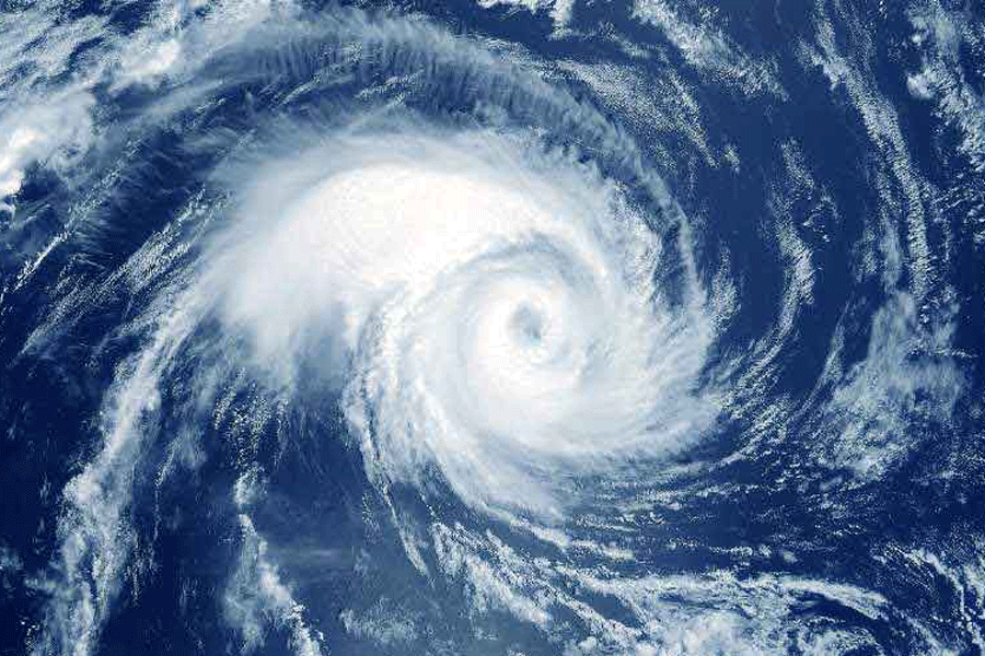
The well-marked low-pressure area in the Bay of Bengal on Saturday intensified into a depression and the system is likely to cross north Andhra Pradesh and adjoining south Odisha coasts between Vishakhapatnam and Gopalpur close to Kalingapatnam around midnight, the India Meteorological Department (IMD) said.
The well-marked low-pressure area over the Bay of Bengal off north Andhra Pradesh and South Odisha coasts moved west-northwestwards and intensified into a depression, the IMD said in a bulletin.
"It is likely to move further west-northwestwards and cross north Andhra Pradesh and adjoining south Odisha coasts between Vishakhapatnam and Gopalpur close to Kalingapatnam around midnight of today, the 31st August 2024," the IMD said.
Under its influence, Odisha is likely to experience isolated very heavy rainfall during this period, the weather agency said, adding that heavy rainfall may also continue on September 1.
The IMD on Friday had warned of heavy to very heavy rainfall accompanied by thunderstorm and lightning at isolated places in southern Odisha districts of Gajapati, Malkangiri, Koraput, Rayagada and Nabarangpur on Saturday.
Heavy rainfall along with thunderstorm/lightning may also occur at isolated places in Nuapada, Kalahandi, and Bolangir in western region and Kandhamal and Ganjam in the southern part of the state.
The IMD also forecast heavy rainfall at isolated places in Malkangiri, Koraput, Nabarangpur, Kalahandi, Nuapada, Bolangir and Bargarh on Sunday.
Meanwhile, Odisha's Special Relief Commissioner (SRC) in a letter to all district collectors has asked them to remain prepared to face any eventuality due to the depression.
Except for the headline, this story has not been edited by The Telegraph Online staff and has been published from a syndicated feed.


