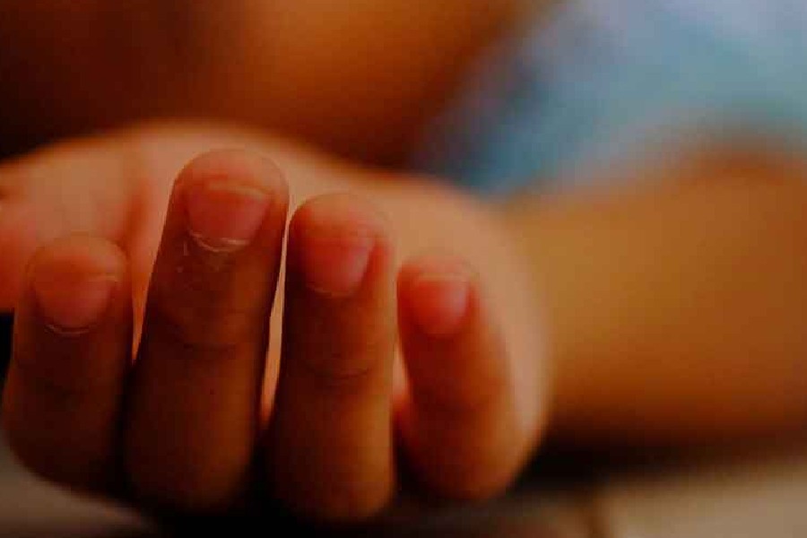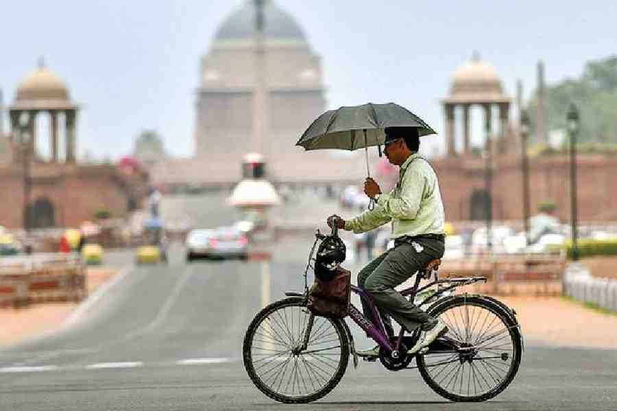
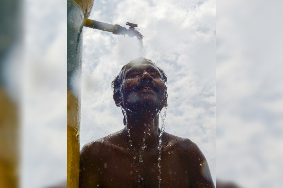
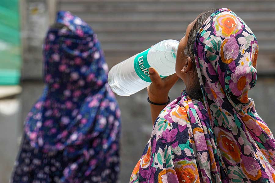
The blazing heatwave that has killed at least 120 people and resulted in thousands of sunstroke cases is one of the longest ever recorded in Delhi and north India.
The region has endured heatwave conditions since mid-May with only a few days when thermometers were not in what the Meteorological Department calls the Red Zone (that’s 5°C above the norm).
"We have had the highest total number of days in heatwave conditions. There have been two spells, one from mid-May till the month end. The second spell started around June 10 and it is continuing,” says Mrutyunjaya Mohapatra, director, India Meteorological Department (IMD).
Adding to the heatwave conditions, night temperatures have been extraordinarily high. On the night of June 18-19 the temperature was 35°C, the hottest minimum since records began in 1969.
Previously the highest minimum temperature was 34.7°C in 2010. Since June 14, the nighttime minimum temperatures have stayed at around 33°C and have been over 30°C since June 10.
The exact numbers are unclear but at least 100 people may have died in Delhi because of the extreme heat. Large numbers are also thought to have died across north India though precise figures are not available.
The deaths are hardly surprising because even in a region that’s used to high temperatures the last few weeks have been extraordinary. Between June 12 and June 18 the top temperatures touched 44°C everyday.
The blistering heatwave conditions were expected because of the El Nino weather conditions this year. “Usually in El Nino years we get more heatwave days, more intense heatwave days,” says Mohapatra.
In addition to this there were no western disturbances this year, he adds. Western disturbances are now expected in the coming days and this should result in a slight fall in temperatures.

The wait for monsoon relief
Forecasters had predicted a strong monsoon this year but so far these have shown no signs of being correct. The rains have been disappointing till now, says Air Vice Marshal Gurpershad Sharma, president, Skymet Weather Services. Sharma previously was the air force’s chief meteorologist.
Sharma expects June to be below par and he is also sceptical about the first half of the monsoon, saying, “It is not giving a rosy picture even as of date for the first half of the monsoon. June will be subpar. July will be better.”
He adds slightly more optimistically: “We should depend more on the second half of the monsoon.”
Skymet’s daily report talks about the poor rainfall in Mumbai: “It is almost 10 days since the onset of the monsoon in Mumbai. There was a semblance of a typical Mumbai monsoon at the time of onset but it got over quickly and has not returned thereafter. Both, the record observatories at Santacruz and Colaba, have yet to register a sustained downpour and both are short of the three-digit mark in 24 hours, which otherwise is very common.”