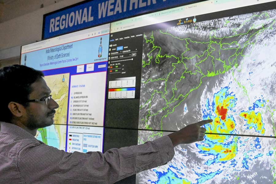
A deep depression over east-central Bay of Bengal intensified into cyclonic storm 'Dana' on Wednesday morning, the India Meteorological Department (IMD) said.
The storm is likely to move in a northwestward direction, intensify further into a severe cyclonic storm over northwest Bay of Bengal and cross the Odisha-West Bengal coasts between Puri and Sagar Island in the early hours of October 25 with wind speeds of up to 120 kmph, the IMD added.
The system lay 560 km southeast of Paradip and 630 km south-southeast of Sagar Island at 5.30 am, it said.
Advising fishermen not to venture into the sea from October 23 to 25, the Met warned that wind speed is likely to reach 60 kilometres per hour (kmph) along and off Odisha-West Bengal coasts from October 23 and gradually increase to 100-110 kmph, gusting to 120 kmph, from October 24 night till October 25 morning.
More than 150 express/passenger trains running through South Eastern Railway jurisdiction have been cancelled in view of the severe cyclonic storm, an SER official said.
The trains cancelled were scheduled to depart their originating stations between October 23 and 25, the SER official said and added that more trains running through the SER zone may be cancelled if the situation demands.
The Calcutta-headquartered SER zone is spread over the states of West Bengal, Odisha and Jharkhand.
The Indian Coast Guard (ICG) said it is on high alert and has mobilised its vessels and aircraft to respond swiftly to any contingency over the Bay of Bengal.
It said the ICG has mobilised its vessels and aircraft, positioning them strategically to respond swiftly to any emergency situations. The NDRF said it has deployed 13 teams so far across south Bengal to respond to any emergency situation.
The storm is likely to bring very heavy rainfall in south Bengal districts on October 24 and 25, the IMD said.
Heavy to very heavy rainfall with extremely heavy downpour at one or two places is likely in the coastal districts of South 24 Parganas, Paschim Medinipur, Purba Medinipur and Jhargram districts.
Heavy to very heavy rainfall is likely in Calcutta, Howrah, Hooghly, North 24 Parganas, Purulia and Bankura districts between October 24 and 25, the Met said.
Except for the headline, this story has not been edited by The Telegraph Online staff and has been published from a syndicated feed.


