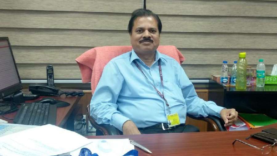
Climate change has hampered the ability of forecasting agencies to accurately predict severe events and the India Meteorological Department is installing more radars and upgrading its high-performance computing system to meet the challenge, IMD Director General Mrutyunjay Mohapatra said here.
He also said that though the monsoon rainfall has not shown any significant trend in the country, the number of heavy rainfall events has increased and that of light rainfall events has decreased due to climate change.
The impact-based forecast will improve to become "more granular, specific and accurate" by 2025 and IMD will be able to provide forecasts up to panchayat level clusters and specific areas in cities in the coming years, the IMD chief told PTI in an interview.
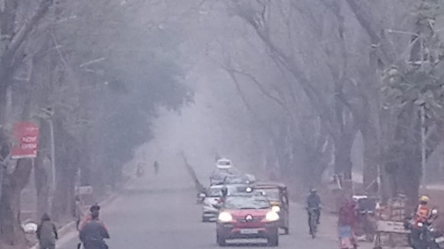
"Climate change has increased the instability in the atmosphere, leading to an increase in convective activity -- thunderstorms, lightning and heavy rainfall. The severity of cyclones in the Arabian Sea is also increasing.
"This increase in the frequency of extreme weather events is posing a challenge to forecasters. Studies show that the ability to predict heavy rainfall is hampered due to climate change," he said.
Work on bolstering network
-------------------------------
The IMD is bolstering its observational network with the augmentation of radars, automatic weather stations and rain gauges and satellites to improve predictability, Mohapatra said.
"We have put up six radars in the northwest Himalayas and four more will be installed this year. The procurement process is on for eight radars in the northeast Himalayan region.
"There are certain gap areas in the rest of the country that will be filled up with 11 radars. The number of radars will increase from 34 at present to 67 by 2025," the IMD chief said.
Radars are preferred because they have a higher resolution and can provide observations every 10 minutes.
The Ministry of Earth Sciences (MoES) also plans to upgrade its high-performance computing system -- from a capacity of 10 petaflops currently to 30 petaflops in the next two years -- which will help assimilate more data into the model that can then be run at higher resolutions.
The lower the range of a weather model, the higher its resolution and the greater the precision.
At present, the IMD-MoES weather modelling system has a resolution of 12 kilometres. The target is to make it six kilometres.
Similarly, the resolution of the regional modelling system will be improved from three kilometres to one kilometre.
"We are providing forecasts up to the district and block levels currently. Going ahead, we will provide forecasts up to clusters at the panchayat level and specific locations within cities," Mohapatra said.
The Met office is working to better the impact-based forecast in collaboration with state governments and other stakeholders including the Indian Space Research Organisation. It is expected to become more granular, specific, accurate and dynamic by 2025.
The IMD started issuing impact-based weather forecasts, which provides information needed to act before severe weather events to minimise the socio-economic costs, three years ago.
These forecasts come in a colour-coded format, associated with risk levels and suggested actions. These are: green (no action needed), yellow (watch and stay updated), orange (be prepared) and red (take action).
Impact of climate change on Monsoon
-----------------------------------------
On climate change increasing the fragility of the Himalayas, he said, "Climate change is a fact and we need to plan all our activities accordingly."
A study by the Indian Institute of Tropical Meteorology, MoES says the frequency of mini-cloud bursts (five cm or more rainfall in an hour) is increasing in the Himalayas. And it can also cause damage, Mohapatra said.
Asked about the impact of climate change on the Indian monsoon, he said: "We have got the digital data of the monsoon rainfall since 1901. Parts of north, east and northeast India show a decrease in rainfall, while some areas in the west, such as west Rajasthan, show an increase in precipitation.
"Thus, there is no significant trend if we consider the country as a whole - the monsoon is random and it shows large-scale variations."
On July 27, the government had told Parliament that Uttar Pradesh, Bihar, West Bengal, Meghalaya and Nagaland have shown significant decreasing trends in the southwest monsoon rainfall during the recent 30-year period (1989-2018, both years included).
The annual rainfall over these five states, along with Arunachal Pradesh and Himachal Pradesh, has also shown significant decreasing trends, it said.
Mohapatra said an analysis of the day-to-day rainfall data since 1970, however, shows that the number of very heavy rainfall days has increased and that of light or moderate rainfall days has decreased.
"That means if it is not raining, it is not raining. If it is raining, it is raining heavily. The rainfall is more intense when there is a low-pressure system.
"This is one of the most important trends found in the tropical belt, including India. Studies have proved that this increase in heavy rainfall events and decrease in light precipitation are due to climate change," he said.
The IMD head explained that climate change has increased the surface air temperature, which in turn has increased the evaporation rate. Since warmer air holds more moisture, it leads to intense rainfall.
Improved accuracy of IMD forecast
--------------------------------------
He said the IMD's forecast accuracy has improved by about 30 to 40 per cent for severe weather events like cyclones, heavy rains, thunderstorms, heat waves, cold waves and fog in the last five years due to an improvement in the observational network, modelling and computing systems.
Sister organisations such as the Indian Institute of Tropical Meteorology and the National Centre for Medium Range Weather Forecasting carry out atmospheric modelling and the Indian National Centre for Ocean Information Services carries out ocean state modelling and supports the IMD's forecasting improvement.
The weather bureau chief said the number of deaths due to cyclones, heat waves etc. has reduced over the years because of an improvement in the early warning lead time and preparedness, planning, prevention and mitigation approaches.
He said the IMD's cyclone prediction with pinpoint accuracy is appreciated worldwide. The accuracy of heat wave forecasts is 92 percent. Heavy rainfall forecast accuracy at the meteorological sub-divisional level has improved from around 60 percent five years ago to 79 percent at present.
The forecast accuracy with a five-day lead time is 60 percent which gives more time to the general public and agencies to prepare for extreme weather.
The weather bureau's location-specific rainfall forecasts have improved by up to 30 percent in the last five years. False alarms have decreased to 20 percent.
The IMD is providing forecasts for 1,096 cities and towns, up from 350 stations in 2019.
Nowcast forecast for the next three hours is being issued for 1,116 stations as compared to just 120 stations in 2013.
"There has been a tremendous improvement in service delivery -- weather information for health, power, agriculture, air quality, hydrology, airports and marine sectors -- in the last three years," Mohapatra, who took over as the IMD chief in 2019, said.

