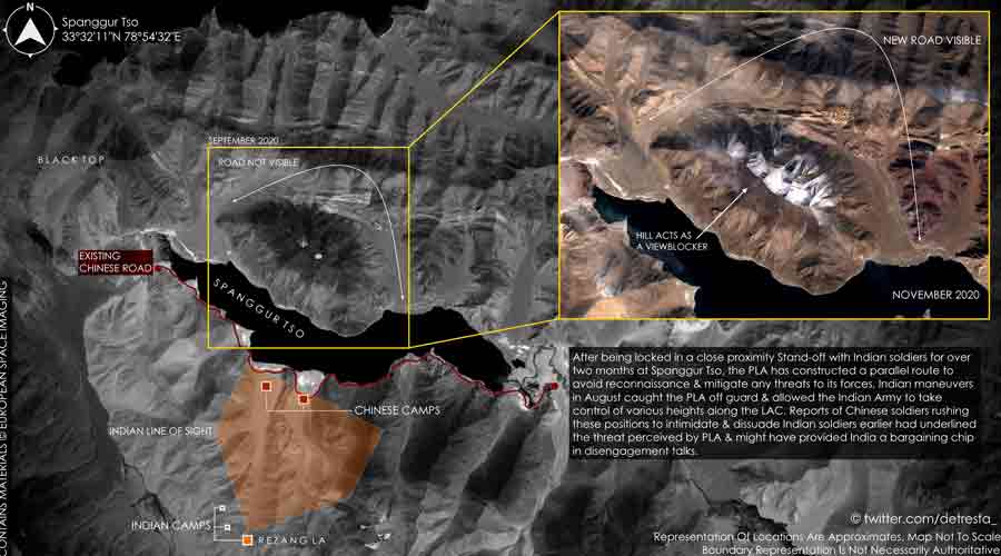
New satellite images suggest the Chinese army has sped up the construction of a bridge connecting the north and south banks of the Pangong Lake that security experts said would give China “a strategic edge”.
High-resolution images, purportedly captured on January 16 and accessed by NDTV from the US space technology firm Maxar, show the bridge, being built within India-claimed lines in eastern Ladakh, is eight metres wide.
The images also show Chinese construction workers using a heavy crane to link the pillars with concrete slabs on which the tarmac is likely to be laid.
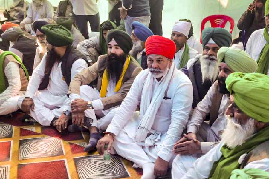
Congress leaser Rahul Gandhi on Wednesday tagged the satellite images to a tweet in which he wrote: “China is constructing a strategic bridge in our country. The PLA is getting bolder because of the Prime Minister’s silence. Now there’s a fear that the PM might arrive to inaugurate this bridge too.”
Sources in the security establishment said that given the speed at which the bridge was being built, it would be ready for use “in the next few months”.
“The bridge is eight metres wide and nearly 450 metres long. It’s in an area claimed by India,” a security official attached to the Union home ministry told The Telegraph.
“Once completed, it will facilitate faster troop movement by China’s People’s Liberation Army (PLA) on either side of the lake and other locations. It will certainly provide them a strategic edge over Indian troops.”
The first satellite images showing the bridge being built had emerged earlier this month. On January 6, India’s foreign ministry had said it was closely monitoring China’s construction of a bridge on the Pangong Lake.
Damien Symon, a geospatial intelligence researcher at the Intel Lab, tweeted: “The development of this bridge in #Pangong Tso (Lake) appears to strengthen the idea of permanency being established by Beijing in the region, committing to its territorial claims with India by modifying unforgiving the landscape in its favour.”
Indian sources had said that during the January 12 military-level talks, China had refused to disengage any further from the friction points and pressed India to accept the currently held positions as the new status quo, confirming fears that Indian military veterans had been expressing for months.
Defence ministry sources said that India had also raised the construction of the bridge during the January 12 talks but China had refused to dwell on the matter.
Symon said: “20 months into the conflict the construction of this bridge hence appears to be a lesson learnt by PLA planners looking to provide seamless connectivity & rapid mobility for elements responding in the future, to the frontline with India.”
Sources in the security establishment said that China was also building roads in the Galwan Valley, the whole of which Beijing claims as its territory.
Intelligence reports suggest that China has been constructing other roads as well as settlements for its troops inside India-claimed lines in eastern Ladakh.