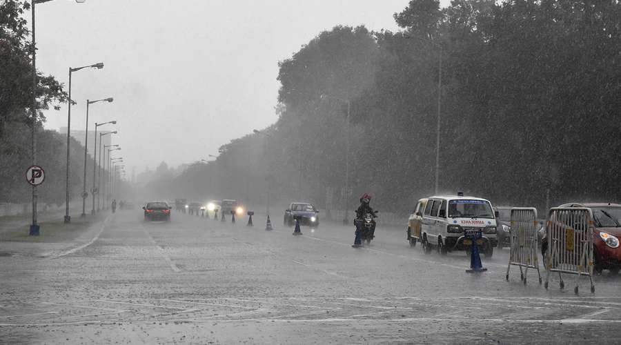
A spell of rain late Saturday night brought Delhi's cumulative precipitation this January to 88.2 mm, which is the highest in the month since 1950, according to the India Meteorological Department (IMD).
The city recorded a minimum temperature of 10.5 degrees Celsius on Sunday, three notches above normal.
An IMD official said, "It is the highest January rainfall in the 1950-2022 period. Delhi had recorded 63 mm of rainfall till January 10 under the influence of two back-to-back western disturbances".
Before this, the capital recorded 79.7 mm of rainfall in 1989 and 73.7 mm in 1953, the IMD data showed.
The rainfall had also brought the maximum temperature in the capital down to 14.7 degrees Celsius on Saturday, seven notches below normal and the lowest this season so far.
The maximum temperatures have been lower than normal since the second week of January. Minimum temperatures have been close to and above normal.
This is largely due to clouds and rain preventing long exposure to sunshine between January 9 and January 19, said Mahest Palawat, Vice President (Meteorology and Climate Change), Skymet Weather, said
The rains between January 7 and January 9 increased moisture in the air, which amid low temperatures, led to foggy conditions.
"Cold day conditions persisted in large parts of the capital and neighbouring areas till January 16 due to fog and low clouds. The day temperature fell again under the influence of back-to-back western disturbances (WDs) from January 16," he said.
Delhi has recorded six WDs in January this year, as against a normal of three to four WDs in the month, Palawat said.
"Delhi saw three WDs between January 1 and January 9. Three more have impacted the capital since January 16, the latest being on January 21," he said.
Clouds and rain prevent exposure to sun, which reduces daytime temperature.
Clouds trap the heat, which gets through during the day, keeping the night time temperatures above normal.


