India’s latest forest assessment report has revealed a 10-fold slowdown in forest cover growth since 2021 compared to the previous two years.
The biannual assessment by the Forest Survey of India, a unit of the environment ministry, has found that the forest cover increased 156 sqkm between 2021 and 2023 against 1,540 sqkm between 2019 and 2021.
The assessment has also found that among six megacities with populations of over 10 million people, Calcutta has the smallest forest cover of 2 sqkm. Delhi has the largest forest cover of 194sqkm, followed by Mumbai (110sqkm) and Bangalore (89sqkm).
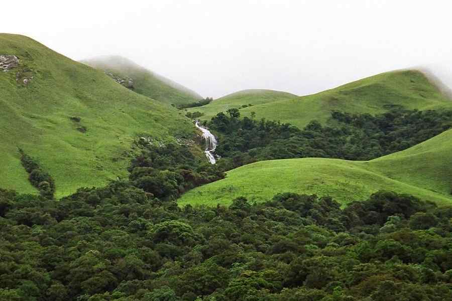
The assessment, which also analysed decadal changes, has noted that the forest cover in the eco-sensitive zone of the Western Ghats — a global hotspot of biodiversity — has shrunk by over 58 sq km since 2013.
The nationwide total combined forest and tree cover in 2023 was about 8,27,000 sqkm, which is nearly 25.2 per cent of the country’s geographical area — 7,15,000 sqkm (21.8 per cent) of forest cover and 1,12,000 sqkm (3.4 per cent) of tree cover.
Among trees outside forests, mango trees contribute to the maximum volume, making up 13.3 per cent of the country’s total volume of trees, followed by neem (7 per cent), mahua (4.4 per cent) and coconut (4.2 per cent) trees.
The 2023 report has noted a 1,445 sqkm increase in the combined forest and tree cover.
The top four states with the largest increases in forest
and tree cover are Chhattisgarh (684 sqkm), followed by Uttar Pradesh (559 sqkm), Odisha (559 sqkm) and Rajasthan (394 sqkm).
Between 2021 and 2023, the top four states with the largest decreases in forest cover are Madhya Pradesh (612.41 sqkm) followed by Karnataka (459.36 sqkm), Ladakh (159.26 sqkm) and Nagaland (125 sqkm).
The Northeast has a combined forest and tree cover of 1,74,000 sqkm, which is nearly 67 per cent of the geographical area of the northeastern states. But the 2023 assessment has shown a 327 sqkm decrease in forest and tree cover in the Northeast.
The forest assessment based on both satellite imagery and ground verification includes information on forest and tree cover and mangrove cover, among other forest-related data.
Lakshadweep has the highest proportion (91 per cent) of its geographic area under forest cover followed by Mizoram (85 per cent) and the Andaman and Nicobar Islands (81 per cent), according to the report. The report has also noted a 7.43 sqkm increase
in the country’s mangrove area measured to be 4,991 sqkm in 2023.


