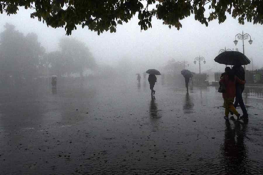
India has received 28 per cent excess rainfall in the pre-monsoon season so far, with the central region gauging precipitation 268 per cent above normal, according to India Meteorological Department (IMD) data.
East and northeast India recorded 29 per cent rain deficit -- 141.5 mm against the normal of 199.9 mm -- from March 1 to May 3.
Northwest India, i.e. Punjab, Haryana, Delhi, Rajasthan, Uttar Pradesh, Himachal Pradesh, Jammu and Kashmir, Ladakh and Uttarakhand, recorded 18 per cent more rainfall (98.3 mm against the normal of 83.4 mm), while the peninsular region received 88 per cent excess rain (102 mm against the normal of 54.2 mm) during this period.
Central India, including Madhya Pradesh, Chhattisgarh, Odisha, Maharashtra, recorded 268 per cent surplus rainfall -- 67 mm against the normal of 18.2 mm.
Starting April 21-22, large parts of the country, barring the eastern and northeastern parts, experienced a prolonged wet spell owing to several back-to-back weather systems.
As a result, most parts of the country experienced significantly lower-than-normal day temperatures during the period.
According to the IMD, not a single place in India has reported a heatwave since April 21.
A senior IMD scientist said such a long period without heatwaves in April and May is "very rare".
May typically sees the highest number of heatwave days in India. During the month, temperatures can soar above 45 degrees Celsius, particularly in the north, northwest and central parts of the country.
A heatwave is declared if the maximum temperature of a station reaches at least 40 degree Celsius in the plains, at least 37 degrees Celsius in coastal areas and at least 30 degrees Celsius in hilly regions, and the departure from normal is at least 4.5 degrees Celsius.
India logged its hottest February this year since record-keeping began in 1901 and the IMD had predicted above-normal maximum temperatures in most parts of the country and more heatwave days in central, eastern and northwestern regions from April to June.
In April, the weather office had predicted that India would get normal rainfall during the southwest monsoon season (June to September) despite the evolving El Nino conditions.
It is likely to be 96 per cent (with an error margin of 5 per cent) of the long-period average of roughly 87 cm, it had said.
El Nino, which is the warming of the waters in the Pacific Ocean near South America, is generally associated with the weakening of monsoon winds and dry weather in India.
The El Nino conditions this year follow three consecutive La Nina years. La Nina, which is the opposite of El Nino, typically brings good rainfall during the monsoon season.
The IMD, however, has emphasised that not all El Nino years are bad monsoon years.
There were 15 El Nino years between 1951 and 2022, and six of them logged 'normal' to 'above normal' monsoon rainfall.
According to the IMD, rainfall between 96 per cent and 104 per cent of a 50-year average of 87 cm is considered 'normal'.
Rainfall less than 90 per cent of the long-period average is considered 'deficient', between 90 per cent and 95 per cent is 'below normal', between 105 per cent and 110 per cent is 'above normal' and more than 100 per cent is 'excess' precipitation.
India received 971.8 mm of rainfall in the monsoon season in 2019, 961.4 mm in 2020, 874.5 mm in 2021 and 924.8 mm in 2022, according to the IMD data.
The country recorded 804.1 mm of precipitation in the season in 2018, 845.9 mm in 2017, 864.4 mm in 2016 and 765.8 mm in 2015.
An early onslaught of heatwaves impacted wheat production in India last year, prompting the country, the world's second-largest wheat producer, to ban exports of the grain in May.
In March this year, the government said the export ban on wheat will continue as long as the country does not feel comfortable with the domestic supplies to meet the food security needs.
Except for the headline, this story has not been edited by The Telegraph Online staff and has been published from a syndicated feed.


